Overview:
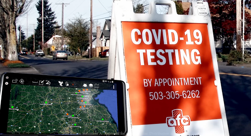
ATAK-CIV (Civil Use) is a digital mapping and situational awareness application specifically designed for civil use, allowing users to track and manage various operations efficiently. It offers a wide range of features, a user-friendly interface, and a visually appealing design. This review will assess the app based on its features, usability, design, and provide an overview of its pros and cons.
Features:
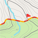
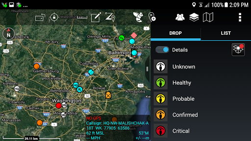
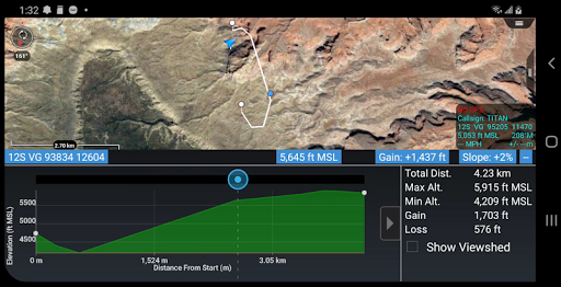
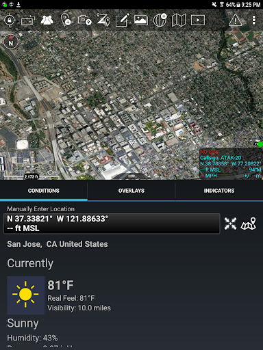
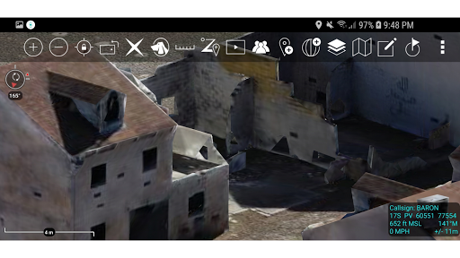
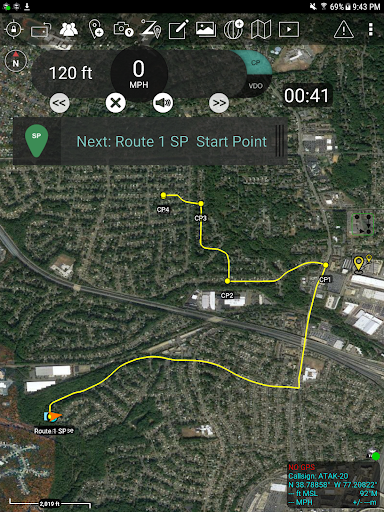
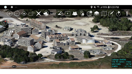
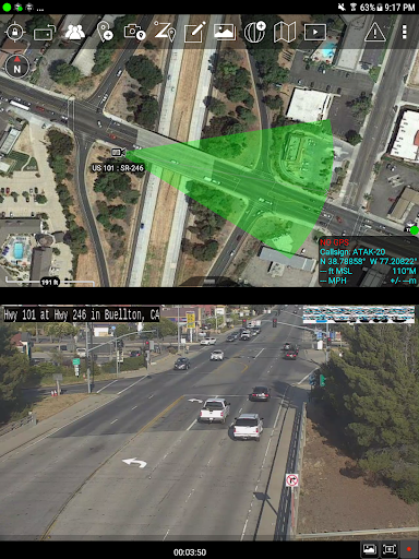
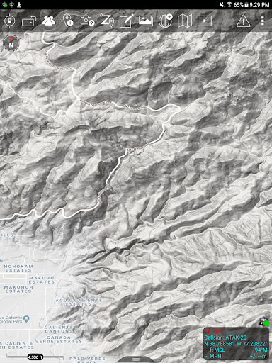
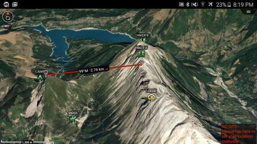
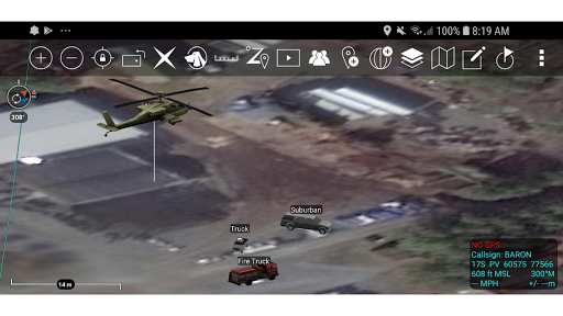
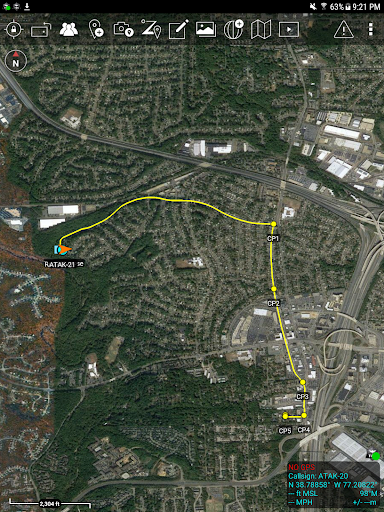
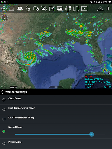
- Mapping: ATAK-CIV provides accurate and detailed maps with multiple overlays, allowing users to view and track locations in real-time.
- Situational Awareness: The app enhances situational awareness by offering shared maps that facilitate communication and collaboration among users.
- Geo-targeting: Users can send geographically targeted messages, improving accuracy and efficiency in communication.
- Resource Tracking: ATAK-CIV enables users to monitor and manage resources effectively, ensuring smooth operations.
- Offline Mode: The app offers an offline mode, allowing users to access maps and features even without an internet connection.
- Customizable Interface: Users have the option to customize the app's interface to suit their preferences and specific needs.
Usability:
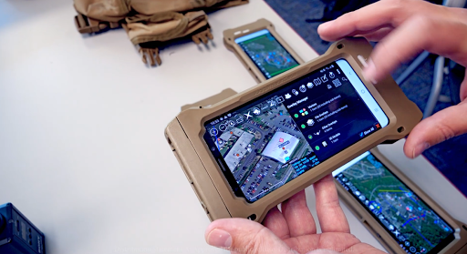
ATAK-CIV stands out as a highly usable app, catering to users with varying levels of technical expertise. The intuitive interface ensures ease of navigation, making it simple for new users to grasp the app's functionalities. The availability of online tutorials and documentation further supports the learning process. Additionally, the app's offline mode is particularly useful in scenarios where internet connectivity is limited, ensuring uninterrupted operations.
Design:
The design of ATAK-CIV is visually appealing, with a clean and modern interface. The maps are displayed in high resolution, allowing for clear visualization of the terrain, structures, and other key details. The color scheme and iconography enhance usability by clearly differentiating between various elements. However, the cluttered appearance of certain overlays can sometimes make it challenging to differentiate between multiple layers of information.
Pros:
- Wide range of features, providing comprehensive situational awareness and resource management.
- Intuitive user interface, facilitating ease of navigation and quick adoption.
- Offline mode enables usage in areas with limited or no internet connectivity.
- Customizable interface allows users to tailor the app to their specific requirements.
Cons:
- Some overlays can appear cluttered, potentially affecting the readability and differentiation of information.
- Certain advanced features may require a steeper learning curve for users unfamiliar with similar applications.
- Limited compatibility across various operating systems and devices.
In conclusion, ATAK-CIV is a powerful and user-friendly app that offers exceptional mapping and situational awareness functionalities. Its robust feature set, combined with its customizable interface, make it a valuable tool for civil use. However, the app could benefit from further improvements to enhance the readability of certain overlays and expand its compatibility across different devices.